
The Carlingford Lough
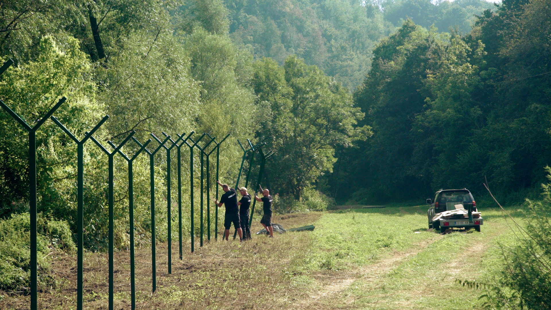
BORDER BETWEEN NORTHERN IRELAND AND THE REPUBLIC OF IRELAND
Carlingford Lough is a glacial fjord that forms part of the border between the Republic of Ireland and Northern Ireland on the eastern side of the island. The lough is a beautiful sea bay surrounded by villages and towns such as Greenore, Omeath, and Carlingford on the Irish side, and Newry and Warrenpoint on the Northern Irish side. The entrance to the bay is marked on the seaward side by the proud Haulbowline Lighthouse.
Carlingford Lough is rife with human activity, with many commuters and leisure travellers passing close by every day. It is an economically important region, based mainly on the fishing industry, but more recently the tourism sector has also developed strongly. Its inhabitants represent a mix of cultures, religions and opinions that is more dynamic than anywhere else in Europe.